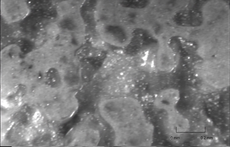
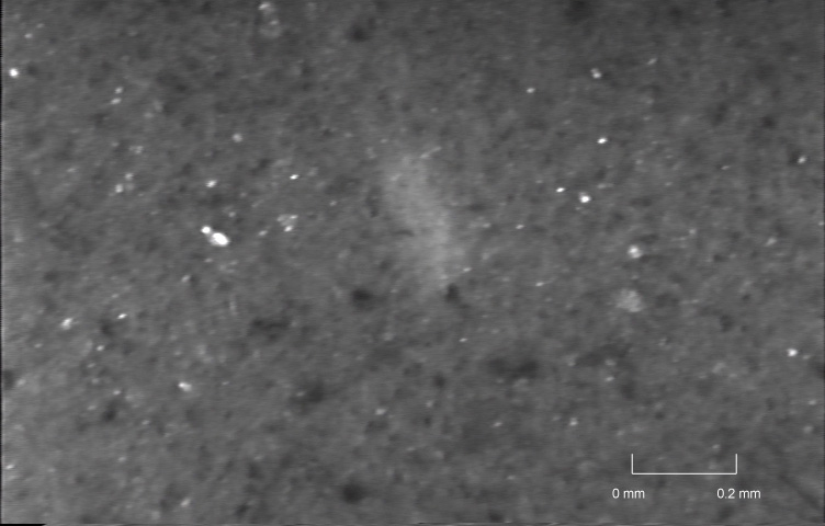
 UM-25 Depth = 0.95 m Partially Saturated
Sand
UM-25 Depth = 0.95 m Partially Saturated
SandSELECT VisCPT IMAGES FROM
TREASURE ISLAND
click on each image for a magnified view
UM-25 Depth = 0.95 m Partially Saturated
Sand
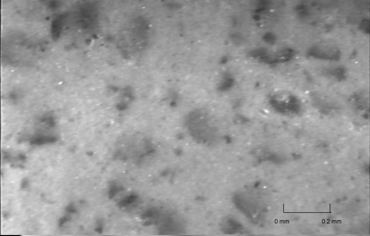
 UM-25
Depth = 2.70 m Saturated Sand
UM-25
Depth = 2.70 m Saturated Sand
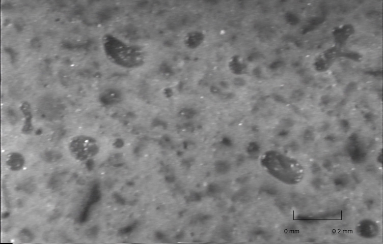
 UM-25
Depth = 3.50 m Silty Sand
UM-25
Depth = 3.50 m Silty Sand
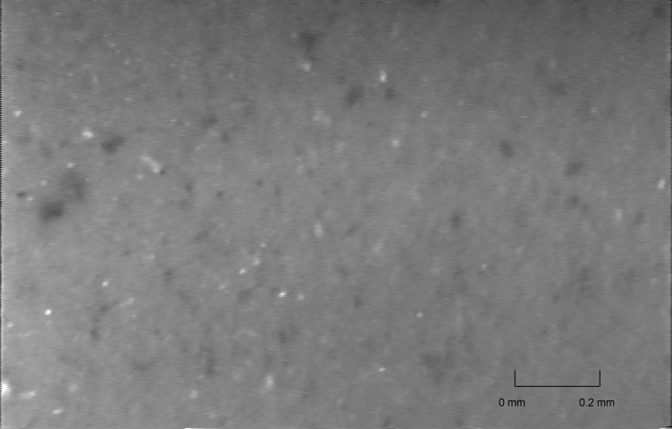
 UM-25
Depth = 4.60 m Silty Fine Sand
UM-25
Depth = 4.60 m Silty Fine Sand
 UM-25
Depth = 6.35 m Silty Clay
UM-25
Depth = 6.35 m Silty Clay
 UM-25
Depth = 7.30 m Silt
UM-25
Depth = 7.30 m Silt
Click here to see video clips from Treasure Island showing soil liquefaction due to VisCPT probe advance
Return to VisCPT homepage by clicking here